

How Many Longitudes Pass Through India
F
Discover verified facts, data, and insights about India’s states, culture, economy, education, and more — all in one place at FactBharat.
Search for a command to run...
Discover verified facts, data, and insights about India’s states, culture, economy, education, and more — all in one place at FactBharat.
No comments yet. Be the first to comment.
Moving to the USA from India is a dream for many. Whether you want to study, work, or live with family, the process can seem complex. But with the right information, you can plan your move confidently. I’ll guide you through the key steps and options...
Opening a college in India is a dream for many educators and entrepreneurs who want to contribute to the country’s education sector. If you are one of those who want to start a college, you need to understand the process clearly. It involves several ...
Opening a hospital in India is a significant and rewarding venture. If you’ve ever wondered how to start one, you’re in the right place. Whether you’re a healthcare professional, entrepreneur, or investor, understanding the process is crucial. You’ll...
Opening a medical store in India can be a rewarding business opportunity. You get to serve your community by providing essential medicines and healthcare products. If you are thinking about starting a medical store, you might wonder where to begin an...
Opening a restaurant in India can be an exciting and rewarding venture. Whether you dream of serving traditional Indian dishes or international cuisine, the process involves careful planning and understanding of local regulations. If you’re ready to ...
FactBharat | Insights About India
2558 posts
Discover verified facts, data, and insights about India’s states, culture, economy, education, and more — all in one place at FactBharat.
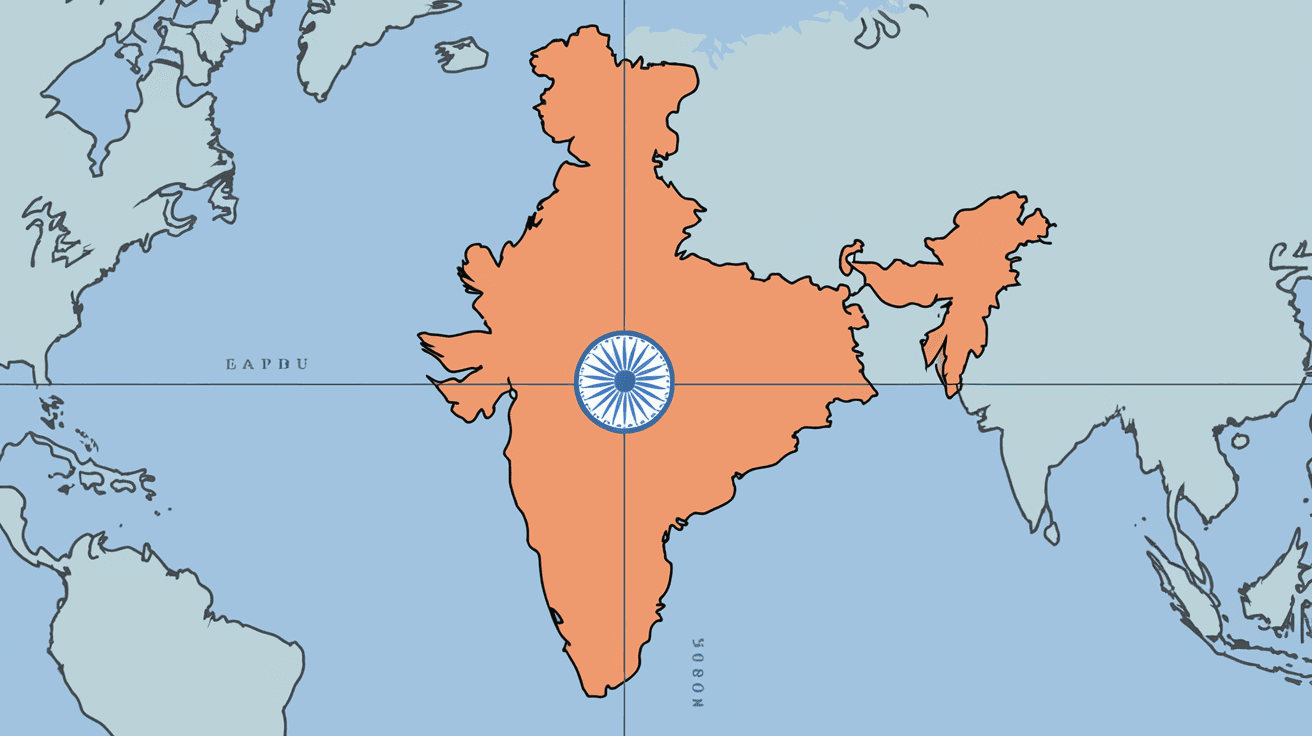
When you look at a map of India, you might wonder how many longitudes pass through this vast country. Longitudes are imaginary vertical lines that run from the North Pole to the South Pole. They help us understand the exact position of places on Earth. Knowing how many longitudes cross India can give you a better idea of its size and location.
In this article, I will explain how many longitudes pass through India and why this matters. We will explore what longitude means, how it affects time zones, and how India’s geography relates to these lines. By the end, you’ll have a clear picture of India’s place on the globe.
Longitudes are imaginary lines that run vertically on the globe. They measure how far east or west a place is from the Prime Meridian, which is set at 0° longitude in Greenwich, England. These lines are also called meridians.
For example, if you are at 77°E longitude, you are 77 degrees east of the Prime Meridian. India lies mostly in the eastern hemisphere, between about 68°E and 97°E longitudes.
India stretches across a wide range of longitudes. The country’s westernmost point is near 68°7′E, and the easternmost point is close to 97°25′E. This means India covers roughly 29 degrees of longitude.
Since each degree of longitude is a separate line, you can say that about 29 longitudes pass through India. To be more precise:
This wide range shows how large India is from west to east.
Understanding how many longitudes pass through India is important for several reasons:
India uses a single time zone despite its wide longitude spread, which sometimes causes differences in sunrise and sunset times across the country.
India follows Indian Standard Time (IST), which is set at 82.5°E longitude. This longitude passes near the town of Mirzapur in Uttar Pradesh and is roughly in the middle of India’s longitude range.
Some experts suggest having multiple time zones in India to better match daylight hours, but currently, IST remains the standard.
India’s longitude range influences its climate, daylight, and daily life. Here’s how:
For example, in Arunachal Pradesh (eastern India), the sun rises almost two hours earlier than in Gujarat (western India), even though both follow IST.
To find how many longitudes pass through a country like India, you need to:
For India:
This method works for any country or region.
Here are some longitudes of important Indian cities to give you a clearer idea:
| City | Longitude (°E) |
| Mumbai | 72.87 |
| Delhi | 77.21 |
| Kolkata | 88.36 |
| Chennai | 80.27 |
| Guwahati | 91.75 |
| Srinagar | 74.85 |
These cities lie along different longitudes, showing the spread across India.
Longitude lines are essential for creating accurate maps. They:
For example, when you use Google Maps or GPS, longitude and latitude coordinates guide you to your destination.
Before IST was adopted, different parts of India used local times based on their longitude. This caused confusion, especially with railways and communication.
In 1906, IST was introduced to unify timekeeping across India, based on 82.5°E longitude.
The difference in sunrise and sunset times across India affects:
People in eastern India often start their day earlier due to earlier sunrise.
Now you know that about 29 longitudes pass through India, stretching from roughly 68°E to 97°E. This wide range shows how large India is from west to east. Longitudes are more than just lines on a map—they affect time zones, daily life, and geography.
India’s use of a single time zone despite this wide longitude range is unique and sometimes challenging. Understanding longitudes helps you appreciate India’s diversity and complexity better. Next time you look at a map, you can see how these invisible lines shape the country’s identity.
India covers approximately 29 degrees of longitude, from about 68°E in the west to 97°E in the east.
Indian Standard Time is based on the 82.5°E longitude, near Mirzapur in Uttar Pradesh.
India uses a single time zone for administrative convenience and national unity, even though it spans nearly 29 degrees of longitude.
Yes, eastern India experiences sunrise and sunset earlier than western India due to the difference in longitude.
Longitudes help determine exact locations on Earth, assist GPS systems, and are essential for accurate maps and navigation.