

How Many Latitudes Are There in India
F
Discover verified facts, data, and insights about India’s states, culture, economy, education, and more — all in one place at FactBharat.
Search for a command to run...
Discover verified facts, data, and insights about India’s states, culture, economy, education, and more — all in one place at FactBharat.
No comments yet. Be the first to comment.
Moving to the USA from India is a dream for many. Whether you want to study, work, or live with family, the process can seem complex. But with the right information, you can plan your move confidently. I’ll guide you through the key steps and options...
Opening a college in India is a dream for many educators and entrepreneurs who want to contribute to the country’s education sector. If you are one of those who want to start a college, you need to understand the process clearly. It involves several ...
Opening a hospital in India is a significant and rewarding venture. If you’ve ever wondered how to start one, you’re in the right place. Whether you’re a healthcare professional, entrepreneur, or investor, understanding the process is crucial. You’ll...
Opening a medical store in India can be a rewarding business opportunity. You get to serve your community by providing essential medicines and healthcare products. If you are thinking about starting a medical store, you might wonder where to begin an...
Opening a restaurant in India can be an exciting and rewarding venture. Whether you dream of serving traditional Indian dishes or international cuisine, the process involves careful planning and understanding of local regulations. If you’re ready to ...
FactBharat | Insights About India
2558 posts
Discover verified facts, data, and insights about India’s states, culture, economy, education, and more — all in one place at FactBharat.
When you think about India’s vast geography, you might wonder how many latitudes it covers. Understanding the latitudinal extent of India helps you grasp the country’s climate diversity, time zones, and even cultural variations. In this article, I’ll walk you through the number of latitudes in India and why they matter.
You might already know that latitudes are imaginary lines running east to west around the globe. But how many of these lines pass through India? And what does that mean for the country’s weather, agriculture, and daily life? Let’s explore these questions together.
Latitudes are horizontal lines on the Earth’s surface. They measure how far north or south a place is from the Equator, which is at 0° latitude. The Equator divides the Earth into the Northern and Southern Hemispheres.
In India’s case, latitudes help explain why the country has such varied weather—from the snowy Himalayas in the north to tropical beaches in the south.
India stretches from about 8°4' N latitude in the south to about 37°6' N latitude in the north. This means India covers roughly 29 degrees of latitude.
This wide range of latitudes means India spans tropical to temperate zones.
Since latitudes are measured in degrees, and India covers about 29 degrees, you can say India lies between the 8th and 37th parallels north. This means:
However, in geography, we often refer to specific latitudes that mark important boundaries or climatic zones rather than counting every degree.
Several latitudes are significant for India’s geography and climate:
The Tropic of Cancer is the most famous latitude in India. It lies at 23°30' N and passes through eight Indian states:
This latitude marks the boundary between the tropical and subtropical zones in India. Areas south of the Tropic of Cancer experience a tropical climate, while areas north have a subtropical climate.
India’s latitudinal range creates diverse climate zones:
| Latitude Range | Climate Zone | Characteristics |
| 8°4' N to 23°30' N | Tropical Zone | Hot, humid, heavy rainfall in monsoon |
| 23°30' N to 37°6' N | Subtropical Zone | Moderate temperatures, distinct seasons |
| Above 30° N | Temperate Zone (Himalayas) | Cold winters, snowfall, alpine climate |
This diversity explains why India has deserts, rainforests, mountains, and coastal areas all within one country.
India lies entirely in the Northern Hemisphere, so daylight hours vary with latitude:
Despite this, India follows a single time zone (Indian Standard Time, IST), which is based on 82.5° E longitude. This means some parts of India experience sunrise and sunset at different local times.
The wide latitudinal spread contributes to India’s rich biodiversity:
This biodiversity is crucial for conservation efforts and sustainable development.
Latitude affects the types of crops grown in different regions:
Farmers adapt their practices based on the climate influenced by latitude.
| Aspect | Detail |
| Southernmost Latitude | 8°4' N (Indira Point) |
| Northernmost Latitude | 37°6' N (Siachen Glacier) |
| Total Latitudinal Span | About 29 degrees |
| Tropic of Cancer Latitude | 23°30' N |
| Number of States on Tropic | 8 |
| Climate Zones Covered | Tropical, Subtropical, Temperate |
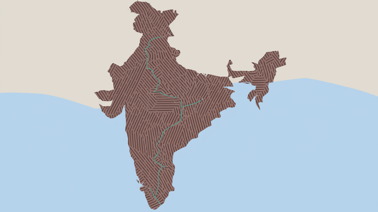
If you want to see how latitudes run through India:
This visualization helps you understand India’s geographic diversity.
Now you know that India spans about 29 degrees of latitude, from 8°4' N to 37°6' N. This wide range explains the country’s varied climates, ecosystems, and agricultural zones. The Tropic of Cancer at 23°30' N is a key latitude that divides India into tropical and subtropical zones.
Understanding latitudes helps you appreciate why India experiences such diverse weather and culture. Whether you live in the tropical south or the temperate north, latitude plays a big role in shaping your environment. Next time you look at a map, you can spot these important latitudes and see how they influence life in India.
India covers about 29 degrees of latitude, from 8°4' N in the south to 37°6' N in the north.
The Tropic of Cancer at 23°30' N divides India into tropical and subtropical zones, affecting climate and agriculture.
It passes through Gujarat, Rajasthan, Madhya Pradesh, Chhattisgarh, Jharkhand, West Bengal, Tripura, and Mizoram.
Latitude influences temperature, rainfall, and seasons, creating tropical, subtropical, and temperate zones across India.
No, India follows a single time zone (IST), despite its wide latitudinal and longitudinal spread.